At VHB, we approach challenges with the end user in mind. We designed our enterprise-level Highway Crash Geocoding & Safety Management Systems to help our state transportation agency clients improve mobility and communication within the communities they serve. This future-focused technology manages the safety of community streets and roadways, streamlines workflows and processes, and helps agencies (like those listed below) deploy responses with enhanced speed and accuracy.
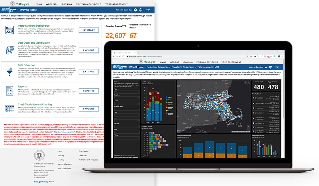
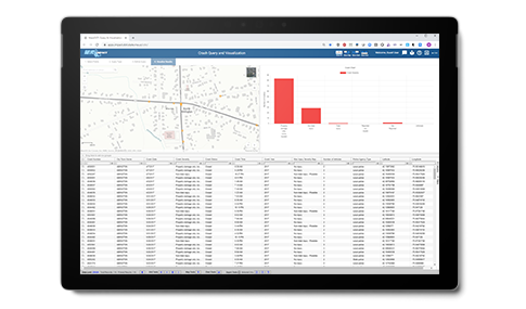
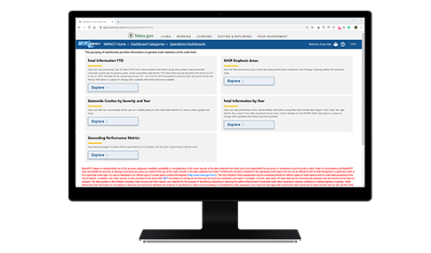
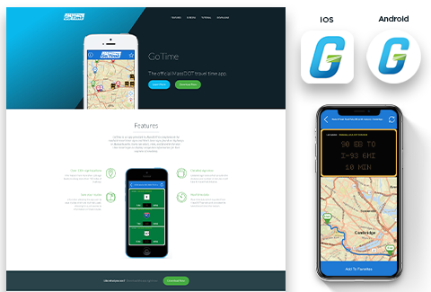
VHB designed, developed, and now hosts a highway crash Geocoder for MassDOT using a secure, cloud-based, and web service-enabled GIS solution that leverages the technology provided from MassDOT’s preferred geospatial software vendor, Esri.
For CTDOT we worked with UCONN’s Transportation Research Center to build comprehensive safety analysis tools that automate FHWA’s Highway Safety Manual process, including functions such as networking, screening, diagnosis, collision diagraming, and countermeasure selection.
For NYSDOT, VHB is developing a new, customized suite of applications collectively called the Crash Location and Engineering Analysis Repository (CLEAR) system. CLEAR provides a series of modules for geocoding, editing, and managing crash data while providing tools for conducting the six-step safety management process to improve roadway safety and reduce the number of crashes, injuries, and fatalities within the state.